A sensor pings you: a refrigerated shipment is getting too warm. Good to know, except you don't know which shipment or where it is right now. So, you start calling drivers, scrolling through spreadsheets, and burning the very minutes that matter. By the time you track it down, the load is already spoiled.
That gap between knowing something is wrong and knowing where it's wrong is the whole reason for geospatial IoT matters. Attach location to your sensor data, and the same alert reads completely differently: truck 14, on the ring road, eighteen minutes from the depot. Suddenly it's not a problem you go hunting for. It's one you can fix on time.
This guide covers what geospatial IoT is, how it works, where it's already earning its keep, and what separates a solution that scales from one you end up rebuilding a year later.
In a Nutshell
- Geospatial IoT adds location to your sensor's data, so you know not just what's happening, but exactly where turning alerts into fast, precise action.
What is geospatial IoT?
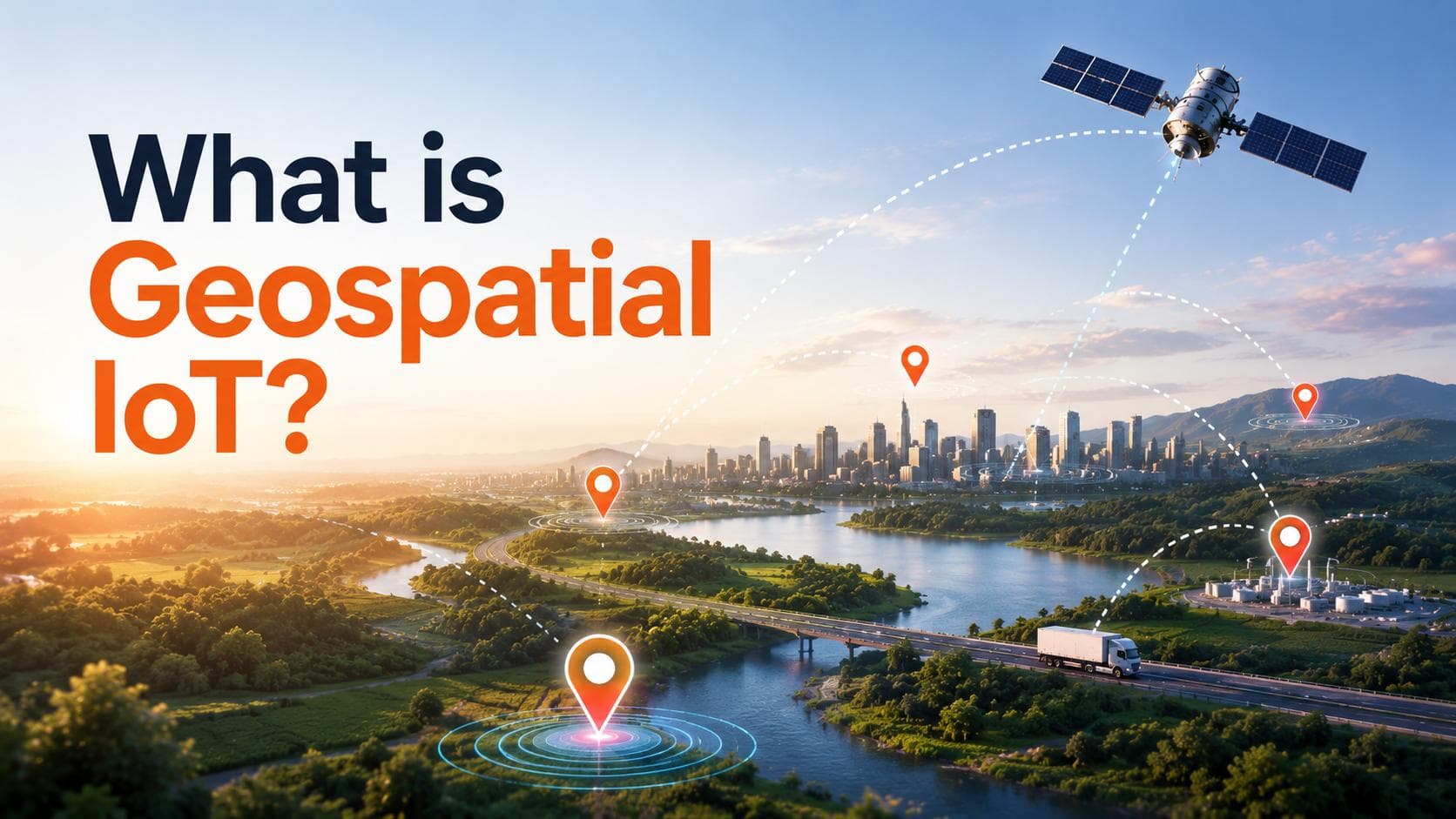
Geospatial IoT is IoT with a "where" attached. Ordinary IoT is very good at telling you what is happening with temperature readings, machine status, and a low-battery warning. Geospatial IoT takes that same data and pins it to an exact place on the map, using tools like GPS, mapping systems (GIS), and geofencing.
It sounds like a small addition. In practice, it changes how you handle almost everything. "A pump has failed" becomes "the pump on the east line has failed, and here's the crew closest to it." "A delivery is delayed" becomes "this one's stuck here, and three customers down the line need a heads-up." Same underlying data, but location turns it into something you can act on without guessing.
That's the real shift. Geospatial IoT moves a business from reacting to alerts to directing a response. And once a team works that way, going back to a dashboard that only tells half the story feels like flying blind.
How geospatial IoT works
Under the hood, the flow is simpler than it sounds. Four steps:
- A device records its data along with its location.
- That information travels over a network to a central platform.
- The platform maps it and looks for patterns worth acting on.
- It responds to an alert, a rerouted vehicle, or a task pushed straight to the field team.
Most systems handle the first three steps well enough. You end up with a clean map full of moving dots that look great in a demo. But there's a catch: someone still must sit there, read the map, and decide what to do. That works with ten devices. It gets overwhelming as the numbers climb.
The solutions worth building don't stop at step three. They close the loop, wiring location straight to action, so the moment an asset drifts out of a safe zone or a route slips behind schedule, the response is already moving. Getting from seeing to doing automatically is the hard part, and it's where good platform engineering quietly does the heavy lifting.
A closer look: how it plays out in real life
Picture a produce distributor running forty refrigerated trucks. Before geospatial IoT, a temperature spike meant a scramble for which truck, which route, and who's nearby. The losses just got written off as the cost of doing business.
Now every truck carries a sensor that reports both its temperature and its GPS position. When one van's cooling starts to slip, the platform doesn't just flag it. It checks the van's location, sees it's near a partner depot, and alerts both the driver and the depot to shift the load into cold storage. What used to be a lost shipment turns into a fifteen-minute detour.
None of that is science fiction. It's simply what happens when you stop treating "what" and "where" as separate questions and let one system answer both at once.
Where geospatial IoT is used
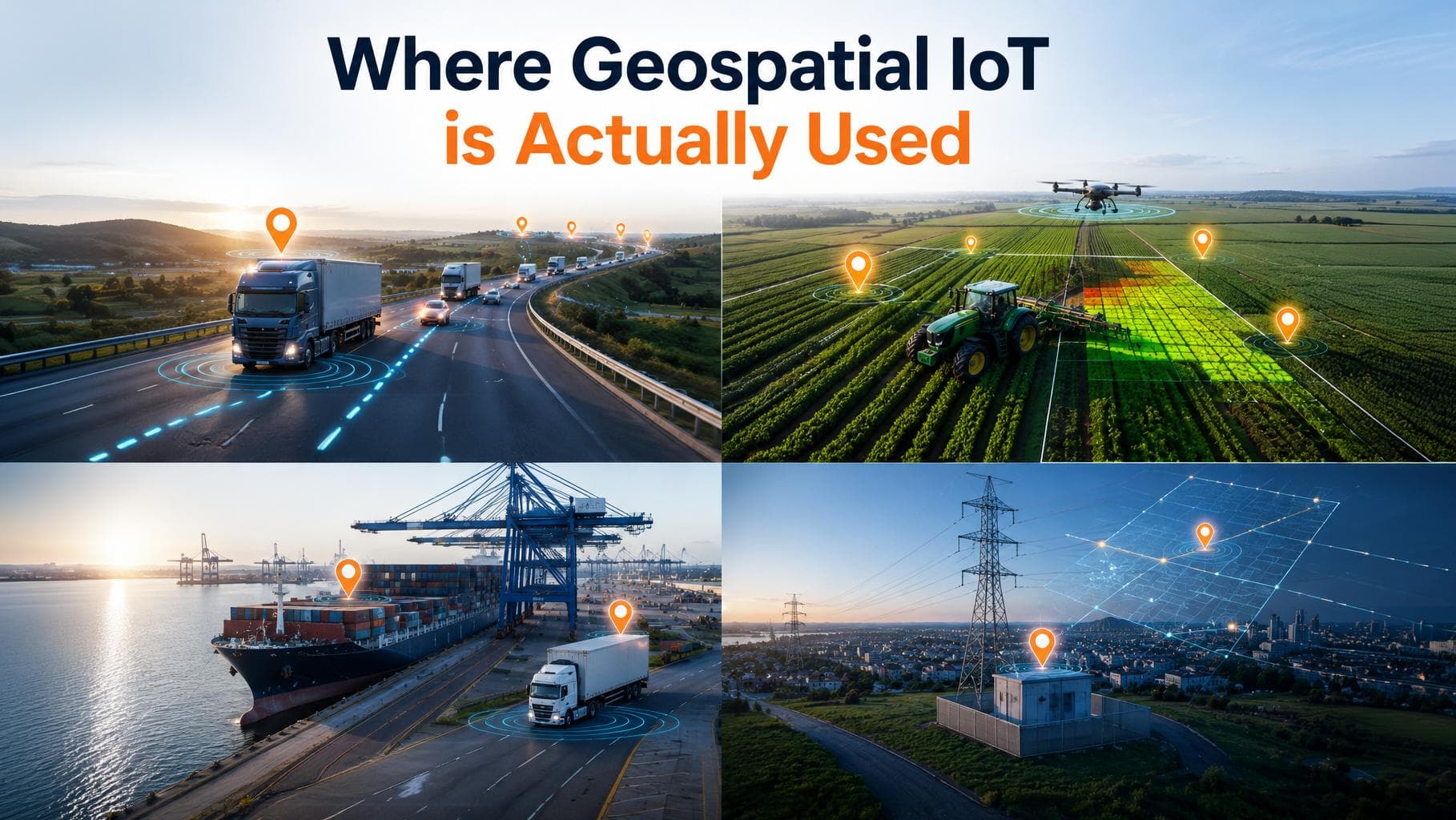
The idea is interesting, but the results are what count, and they're showing up across very different industries.
- Fleet and asset tracking
The most familiar use case, and for good reason. Knowing where your vehicles, tools, and shipments are at any moment means fewer things go missing, tighter delivery windows, and answers you can give customers to build confidence. It also feeds smarter route planning, which trims fuel and time week after week.
- Precision agriculture
One of the most natural fits. By mapping fields and guiding machinery with GPS, growers place water, seed, and fertilizer exactly where each patch of land needs it, no more, no less. Across a season, those small, precise decisions add up to healthier crops, lower costs, and more from every acre. For farms already running sensors, adding a location layer is often the single biggest jump in value.
- Logistics and supply chains
Live location turns a string of guesses into a clear picture. Geofences trigger updates as goods pass each checkpoint; routes bend around real conditions instead of yesterday's plan, and delivery estimates finally start matching reality. The result is a smoother operation and a better experience right through to the customer's door.
- Utilities and infrastructure
When your equipment is scattered across a whole region, just finding it is half the work. Geospatial IoT lets teams locate an asset instantly, check its condition from afar, and send a crew straight to the right spot. Less driving around, less downtime, and services that keep running the way they should.
Benefits of Geospatial IoT
Bring location and IoT together, and the gains stack up fast. You see where everything is, in real time.
Decisions get sharper because you're acting on an exact spot instead of a vague warning. Losses and delays fall, since problems get caught while they're still small.
Resources go where they're genuinely needed, not where someone guessed. And customer trust grows, for the simple reason that you can tell people where their order is and be right.
None of this is abstract. It shows up as fewer write-offs, shorter response times, and a team that spends less energy chasing information and more getting things done.
How to choose the right approach
Not every project needs the same setup, and matching the approach to the job saves real pain later. A few questions worth answering early:
- How precise do you need to be?
City-wide fleet tracking and centimeter-level equipment guidance are different problems. Broad GPS is cheap and easy; high-precision positioning costs more and only earns its place when the job truly demands it.
- How often do devices need to report?
A shipment updating every few minutes has very different needs from a soil sensor reporting twice a day. Match the network to the pattern.
- How much should be automatic?
Some teams want the system to act on its own; others want a human in the loop for now. Both are fine, but decide up front, because it shapes how you build.
Answering these at the start is far cheaper than discovering them halfway through.
Common mistakes to avoid
A few pitfalls trip up teams new to this, and every one of them is avoidable.
The first is collecting location data with no plan to act on it, ending up with a beautiful map nobody uses. Decide what actions the data should trigger before you start gathering it.
The second is underbuilding for scale. A setup that flies through a small pilot can struggle once it's rolled out fleet-wide. It's far easier to design the bigger picture early than to re-architect under pressure later.
The third is treating location data casually. It's sensitive information, and customers and regulators both care how it's stored and used. Clear rules from day one keep everyone confident.
Sidestep these three, and you've cleared the hurdles that stall most geospatial IoT projects.
Conclusion
Geospatial IoT comes down to one simple idea: knowing where makes everything you do with your data faster and smarter. It's the difference between a warning you must chase and a response that's already underway, between guessing where your assets are and directing them with confidence.
The technology itself is well within reach. What decides success is the thinking around it: choosing the right level of precision, building to scale from the start, handling location data with care, and above all making sure every piece of data leads to an action. Get those foundations right, and geospatial IoT stops being a nice-to-have dashboard and becomes something your operations genuinely run on.
Whether you're moving goods, working on the land, or maintaining equipment across a region, the question is no longer whether location data is useful. It's how soon you put it to work.
Ready to get started?
At Promeraki, we build geospatial IoT solutions that not only show you where things are but also act on them and grow with your business.
Want to see what your location data could do? Let's talk.